
Survey
The Southeast and the Southwest surveys 1997
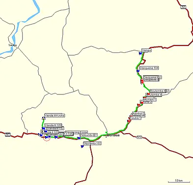
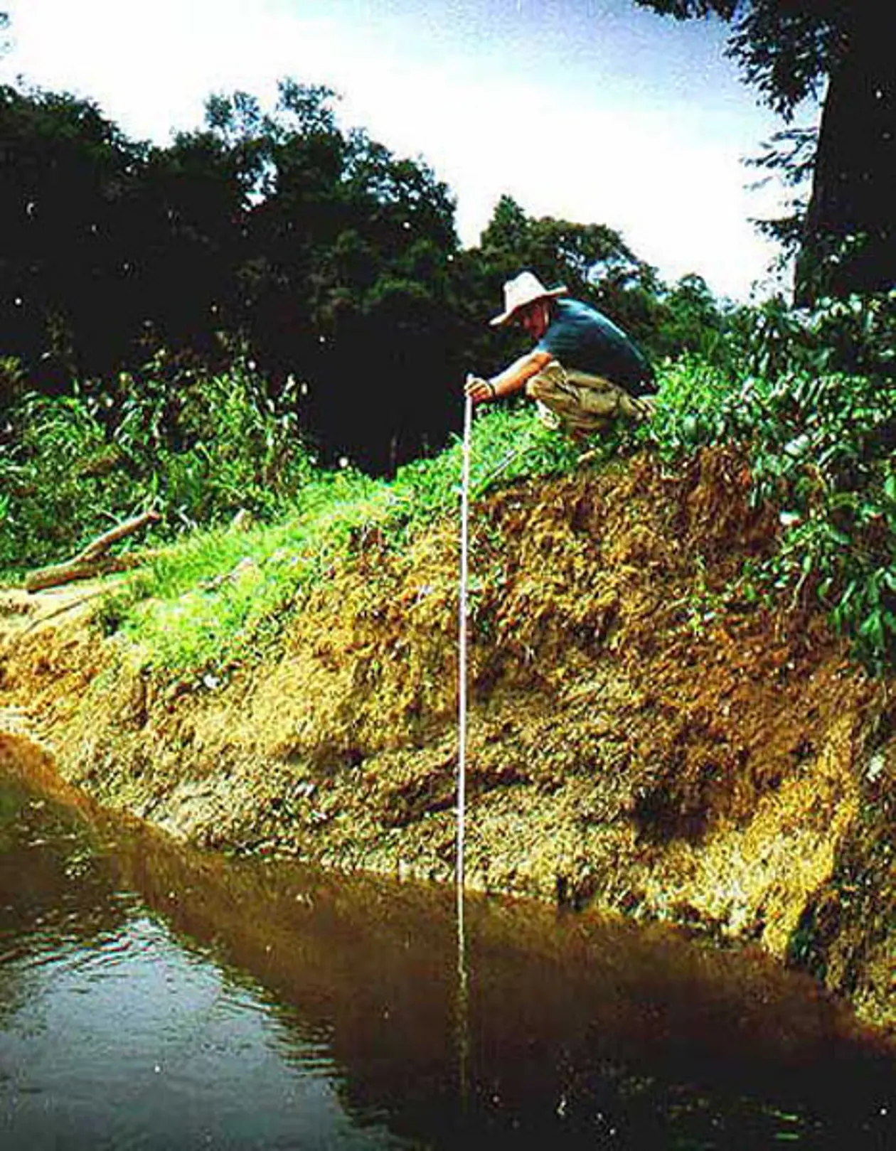
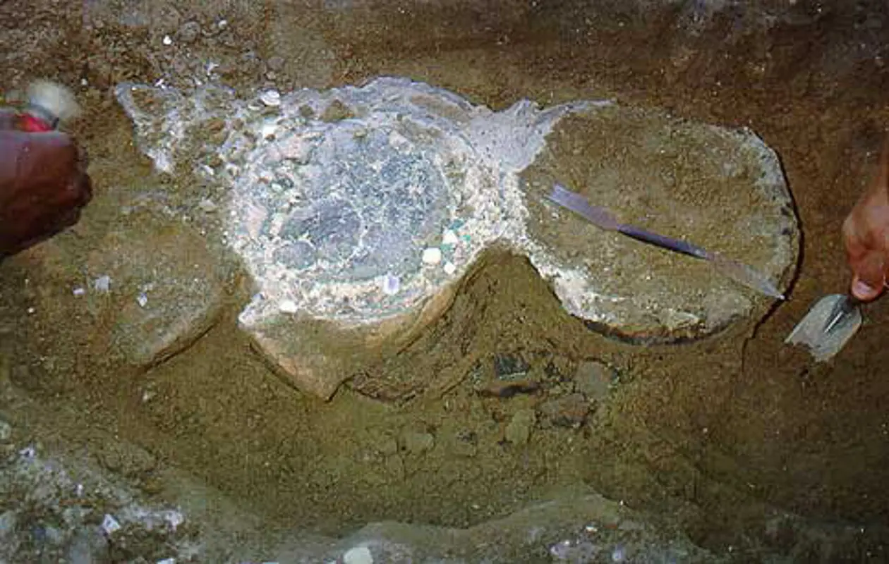
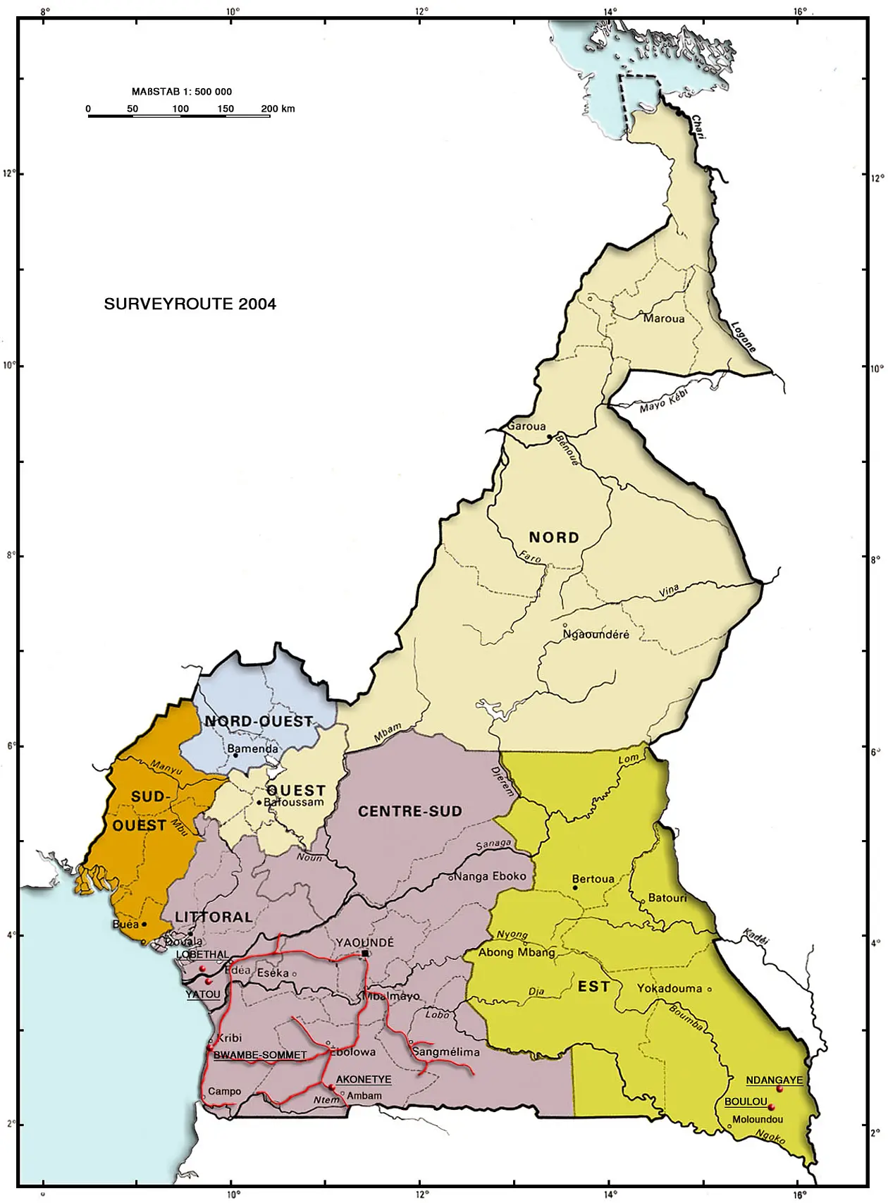
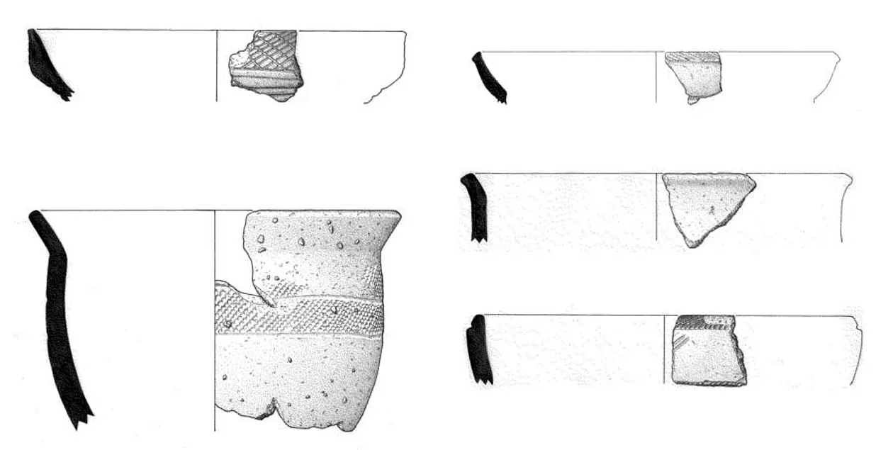
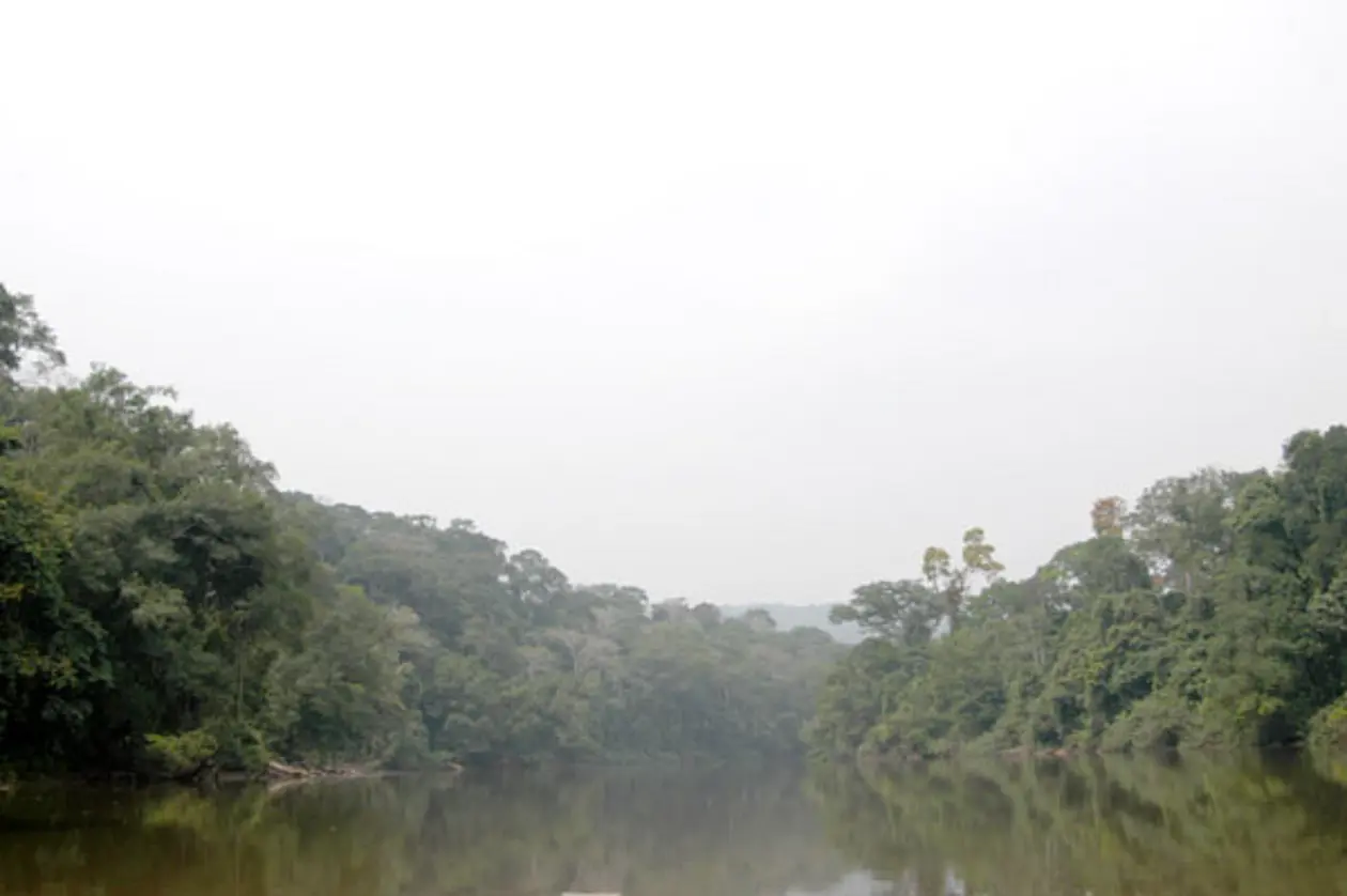
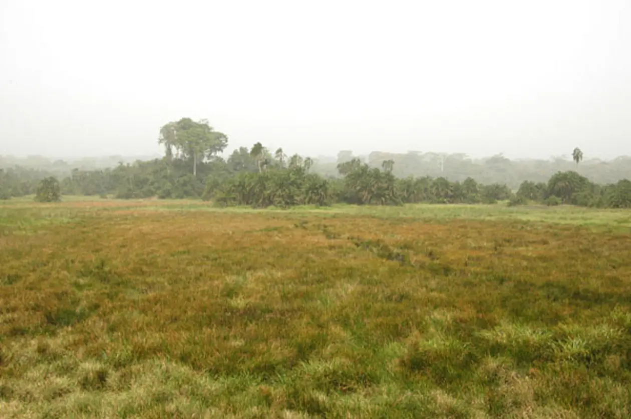
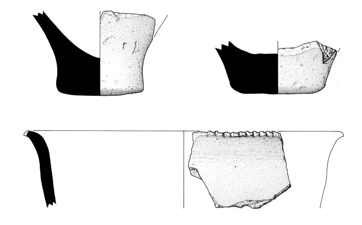
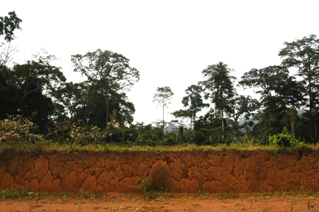
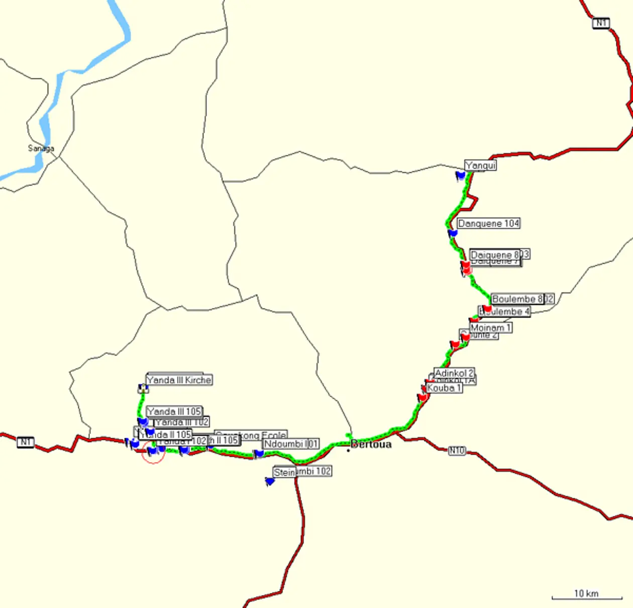
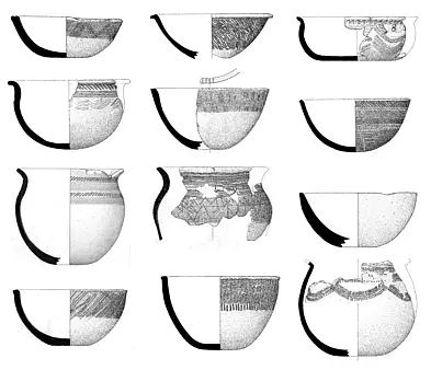
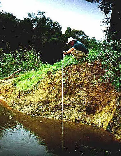
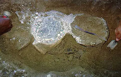
After an absence of about 10 years archaeological research activites were resumed in Central Africa in 1997. Two main regions were examined closely: On the one hand, Eggert wanted to continue where he had to abandon the river reconnaissance of the Ngoko and Dja rivers in 1987 in the Southeast, and on the other hand the early settling of the Atlantic coast, on the estuary of the Sanaga, the largest cameroonian river, was to be archaeologically explored. In this survey a large body of ceramic material, mainly surface finds, was found(Fig. 1). The Sanaga prospection (Fig. 2) adduced to the discovery of several ceramic-yielding features in  Mouanko, as well as in the further upstream located site of Yatou. Epolo, the ‘port’ and marketplace of Mouanko also yielded a ceramic complex, with which a folded ironsheet could be associated (Fig. 3). On the basis of a radiocarbon dating it can be placed in the second to third century AC.
The Southwest - Survey 2004
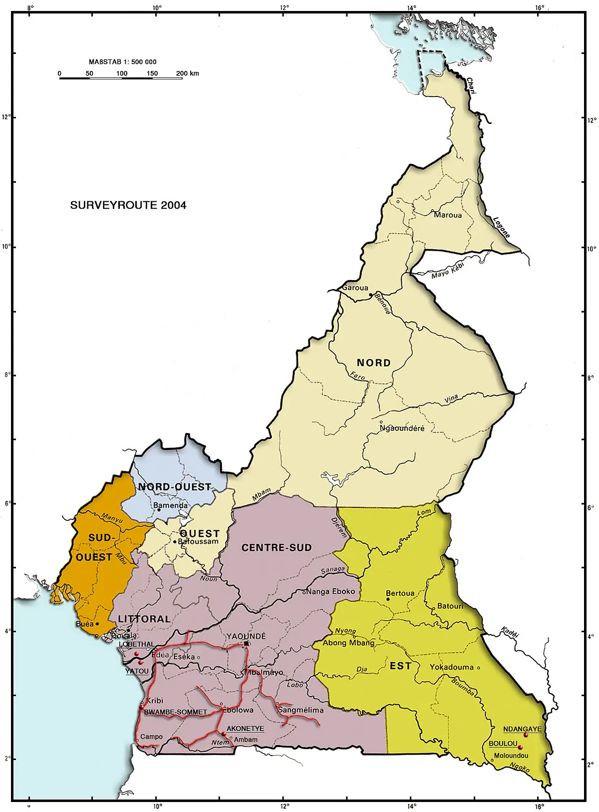
Alike 1997, this reconnaissance was mainly based on the survey of the rainforest by means of cars along the roads. Overall 3000 km were covered to discover traces of human settlement in the region. Therefore road embankments, surfaces without vegetation or rivers with eroded banks were optimally suited, since the archaeological features, such as pits and layers, can be easily discerned from the surrounding soil by their darker fill. Five sites attracted our attention by their finds and features: Kribi/Town Centre, Bwambe Beach und Bwambé-Sommet, Akonetyé and Campo. Two of the here mentioned sites, Akonetyé und Bwambe Sommet, were excavated in the following field season in 2004/05, Campo in 2007.
Bwambé-Sommet (BWS 04)
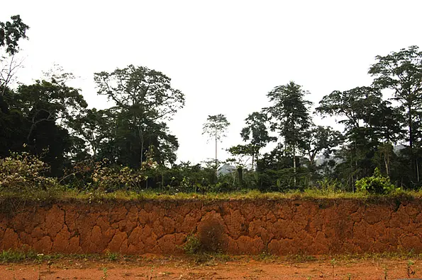
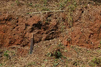
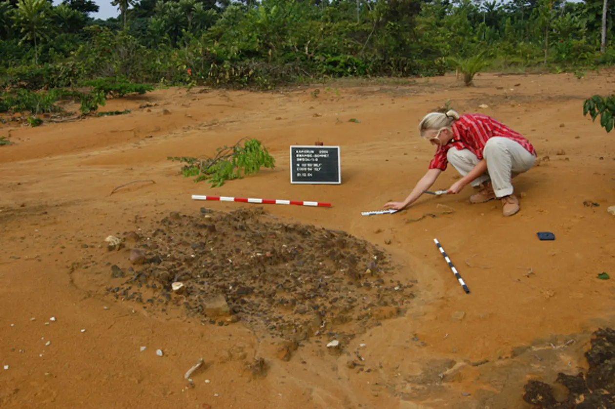
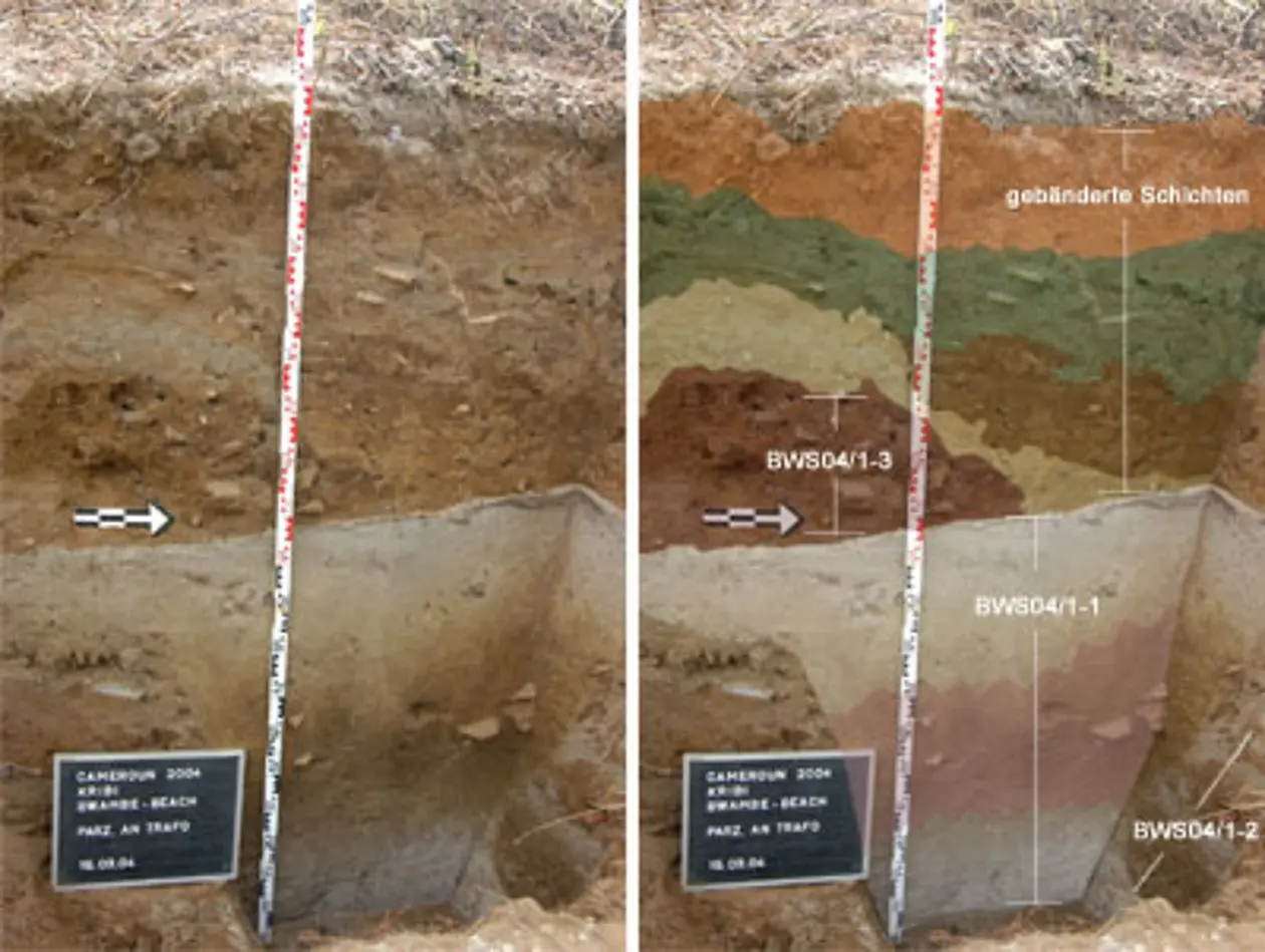
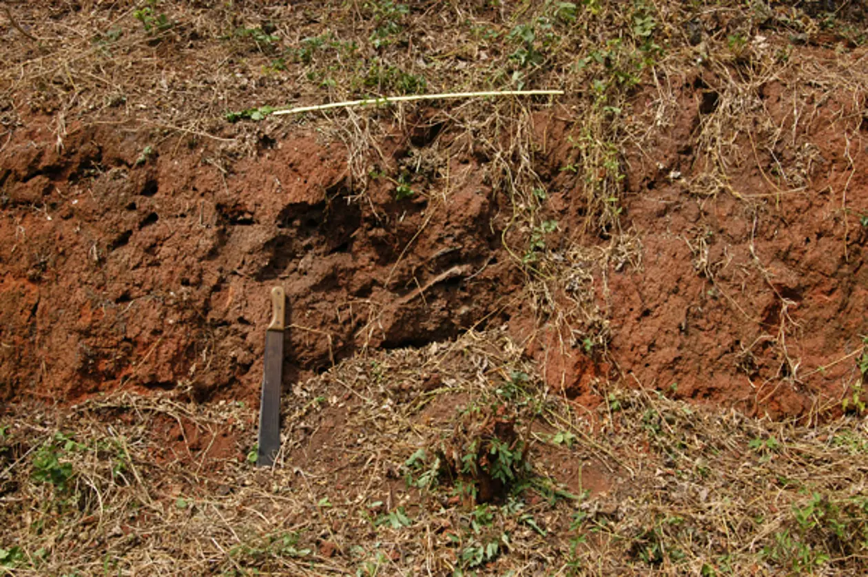
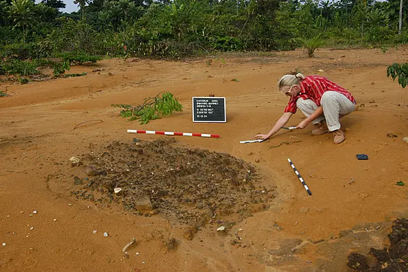
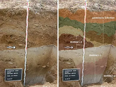
This complex of several pits was discovered on a construction site of the town Kribi, district Bwambé. At least 30 pits, with a diameter of up to 3 m, are distributed over the site (Fig. 5). The surface of the features are eroded by the effects of weather, mainly rain, and contrast strongly through colour and an accumulation of artefacts with the surrounding soil (Fig. 6).


Akonétye (AKO 04)
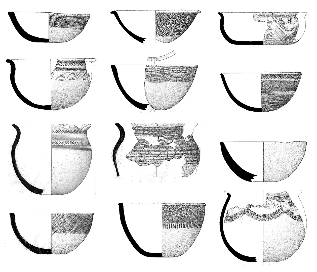
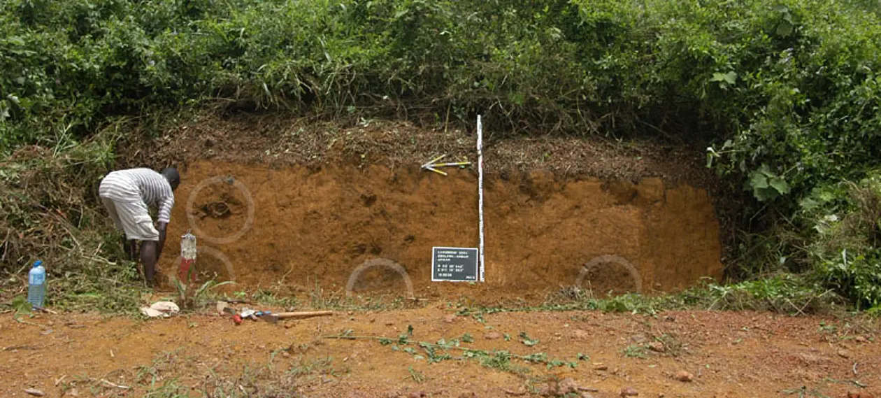
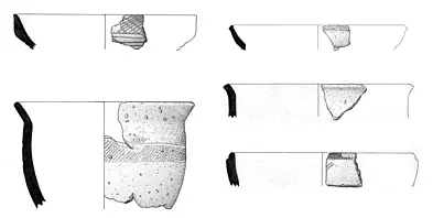
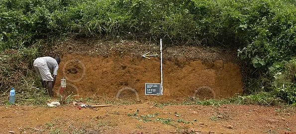
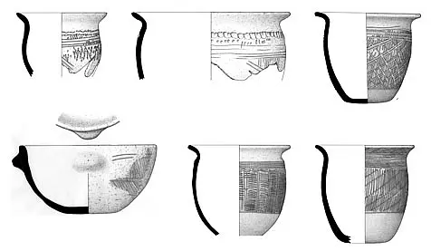
The site has been discovered by Richard Oslisly and Pascal Nlend Nlend during the construction of the Transafrica road, near Ambam in the south of Cameroon. A reconnaissance in 2004 yielded four features, which should be excavated in 2005 (Fig. 10). A particular interest were the ceramics of the different features which appeared to be quite homogeneous and strongly decorated (Fig. 11).
Campo (CAM 04)
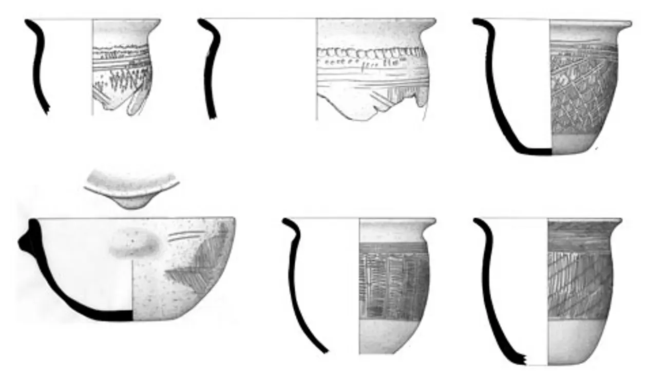
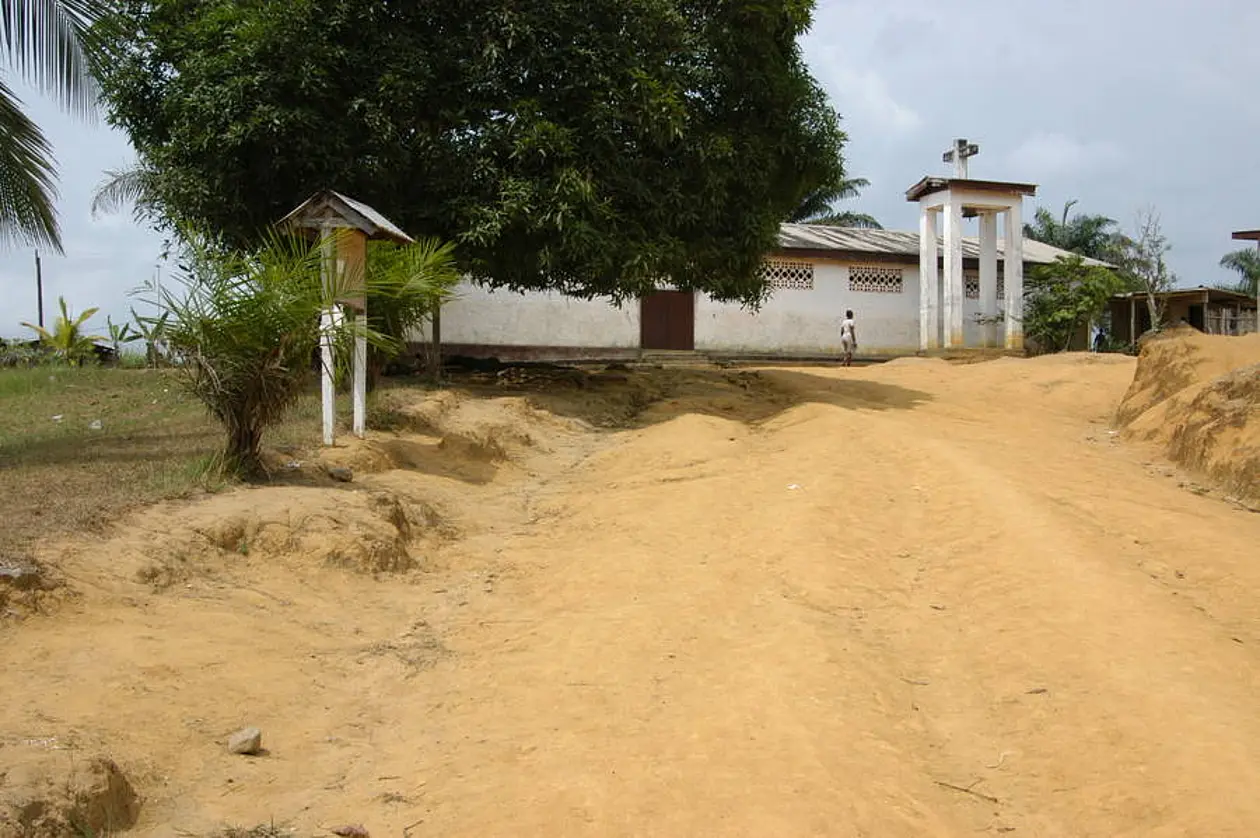
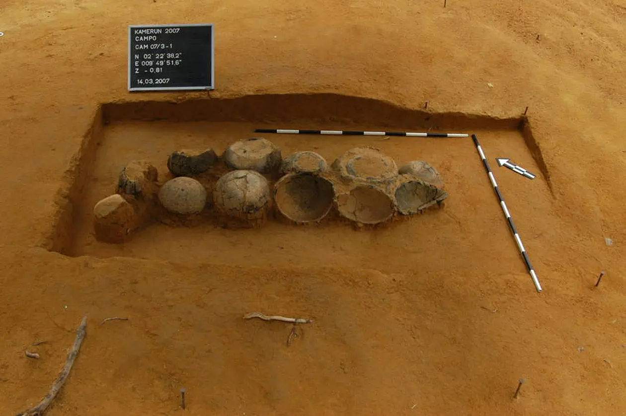
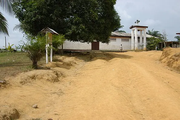
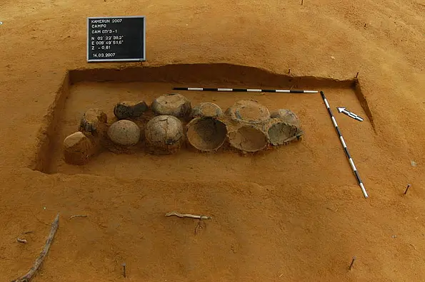
A short stay at the southwesternmost point of Cameroon, clearly demonstrated the archaeological potential of the sites in Campo. Within a few hour, two archaeological sites could be discovered at Campo Kirche (Eglise - Fig. 12) and Campo Lycée. Both sites were already known (discovered by R. Oslisly and C. Mbida), partly excavated and then unpublished. The finds consist of several whole vessels, in shape and decoration similar to those of Lobethal / Yatou (Fig. 13; see also Oslisly 2006).
Southeast-reconnaissance 2005
Survey Ambam 2005
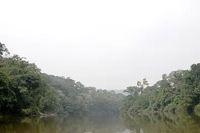
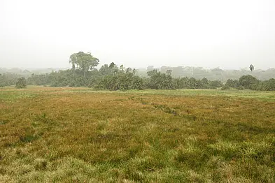
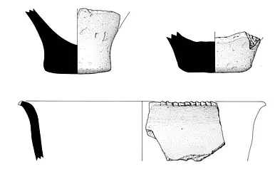
During the scope of the excavations at Akonétye we effected a short survey of the environs of Ambam in 2005. Two sites on the Transafricana,Minyin (Fig. 17) and Abang Minko'o (Fig. 18) were of special interest to us as they displayed a large number of features with intriguing finds. An excavation in 2006 would demonstrate this impressively.