Institute of Prehistory, Early History and Medieval Archaeology

The strategic position at the southernmost river section of the Danube from the early Iron Age to the end of the Roman limes. A site-intensive survey of settlements and fortifications at the Tash Bair hill near Novgrad (Bulgaria)

The river Danube reaches the southernmost point of its course between the Bulgarian city Svishtov and the mouth of the Yantra River, and still in modern times this river section owned a geostrategic importance.

This project is based on previous extended surveys that revealed the crucial importance of a site complex on the Tash bair hill for the understanding of the settlement and fortification systems in this area. It continues the joint German-Bulgarian investigations in the regions which started with the excavations of the Late Roman and Early Byzantine fortress of Iatrus in 1958.

Within the project, two survey and excavation campaigns were carried out.

The sites on the Tash bair were geomagnetically prospected by the company Eastern Atlas (Berlin). Afterwards they were investigated through intensive field walks, whereby information about their dating and their internal structure was obtained. For the Roman Empire, for example, several individual complexes indicate the existence of manors (villae rusticae) which are situated in distances of some hundred meters only at the southern slope of the ridge. We already know a similar settlement structure as a sign for a systematic land partition in the areas further to the west, which must be linked to the relocation of soldiers released from the military units at the Limes.

The dry spring of 2019 made it possible to carry out an extended field walk in large parts of the Yantra estuary. Several settlement sites were found on the higher embankments along the old meanders which are largely silted up today. Here the settlement begins in the younger phase of the Early Iron Age (Basarabi culture) and can be traced until the early Middle Ages (8th to early 11th centuries).

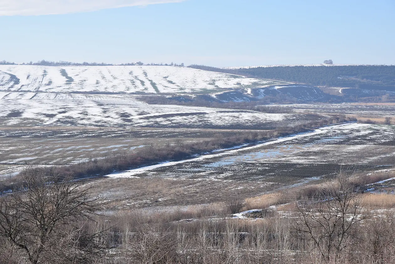
According to a working hypothesis, the settling in both the lowlands and at the Tash bair was significantly influenced by the development of the river courses. In addition, the degree of preservation of the sites is very much dependent on erosion and sedimentation processes. The research on river history in the Yantra estuary is therefore an essential part of the project; it is carried out by a working group of the Geographical Institute of the KU Leuven (Belgium). For the reconstruction and dating of the river meanders, drillings and geoelectric measurements were carried out. The results are being evaluated as part of a master's thesis at KU Leuven.

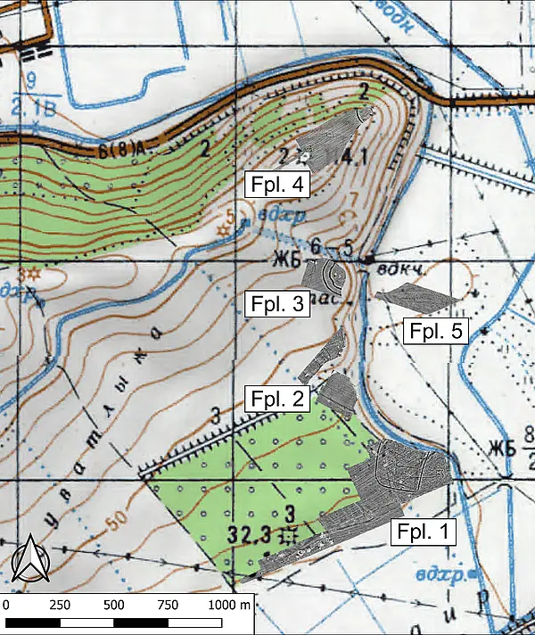
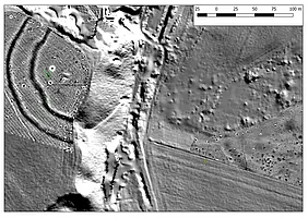
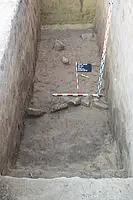
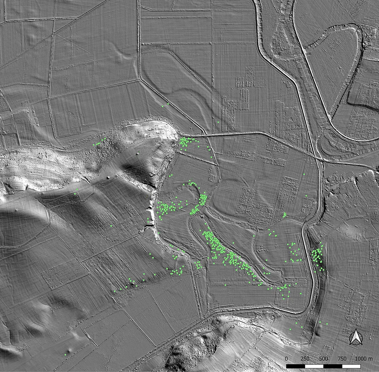
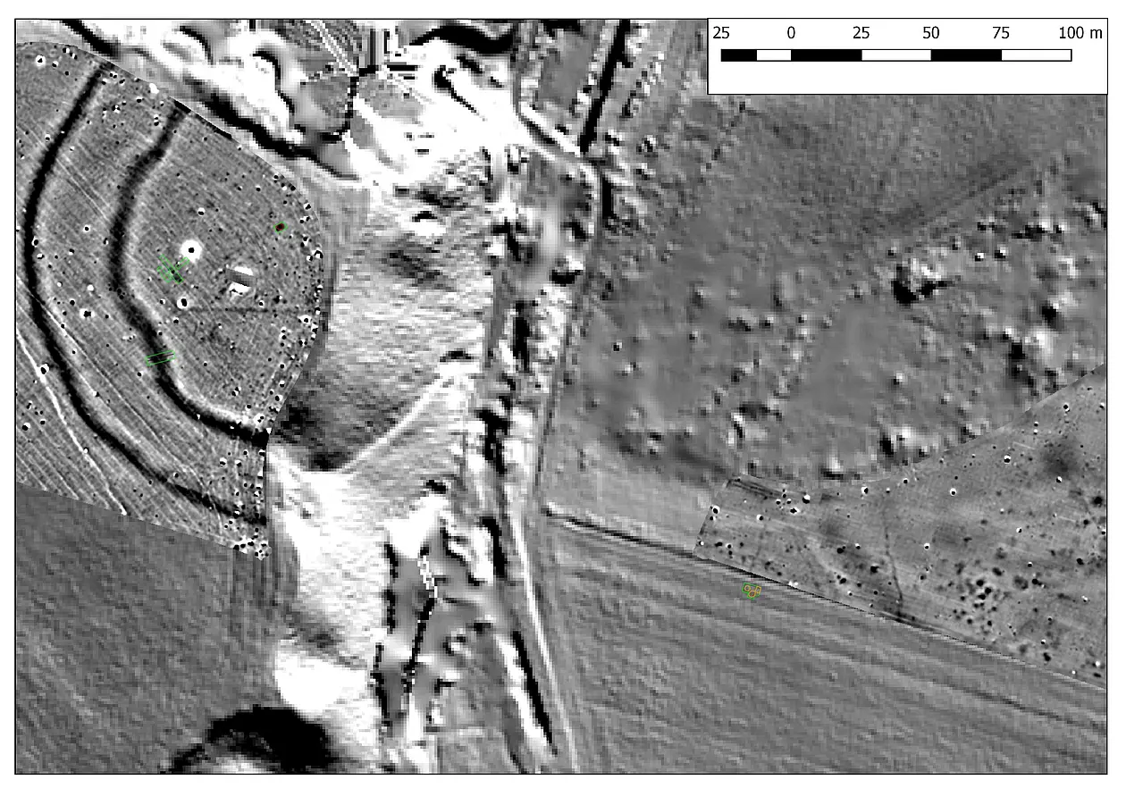
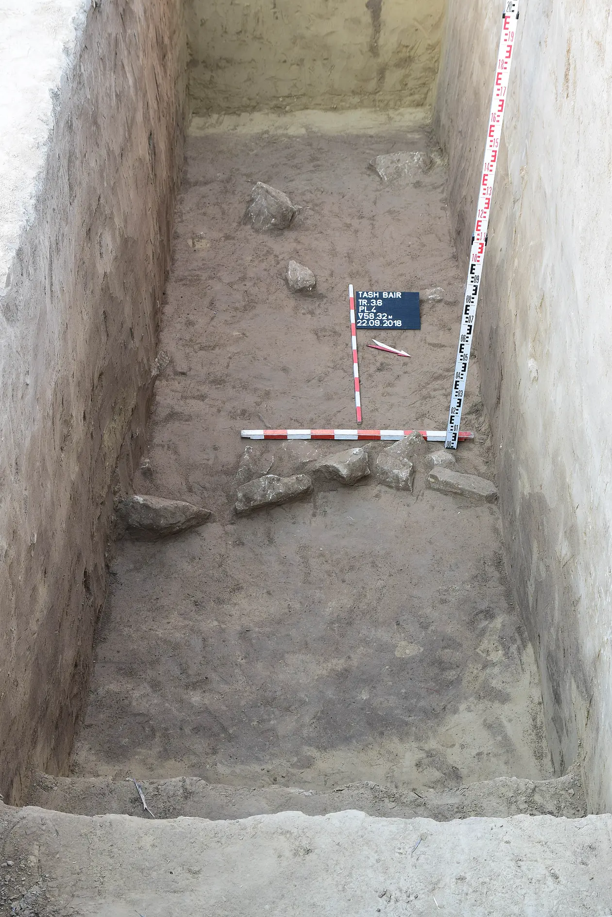
On the southern middle slope of the Tash bair, directly at the break-off edge, two parallel, circular ditches are clearly visible in aerial photographs and in the map of the geomagnetic measurements. The excavations in summer 2018 focused on the inner ditch and two small anomalies in the interior, which were identified as a pit and a gutter-like, anthropogenic depression. The 14C samples date the ditch into the 20th/19th centuries BC and thus at the beginning of the Middle Bronze Age. The two structures in the interior, however, were only created in the Late Bronze Age (14th/13th centuries BC), so that two main occupation phases can be seen. The date of the outer trench is still unknown for the time being, so that not all questions regarding the history of the site have been answered.

In 2019, significant linear structures were examined on an extensive site on the southern slope of the Tash bair. Fortifications of the Late Neolithic, the Late Iron Age and the Early Middle Ages were proven. These and other structures, which have not yet been investigated in detail, indicate that the Tash bair at the mouth of the Jantra had a special importance in settlement in the pre- and early history. The direct access to the river played a major role here; the loss of which, due to the increasing silting up of the meanders, resulted in the abandonment of all settlement sites and fortifications after the Early Middle Ages. The Tash bair thus shares the fate of other cities in the Middle and Black Sea regions that had to be abandoned due to the silting up of their ports.

The research data is currently being evaluated and will soon lead to the publication of the results.