Projects
| Current Projects | |
|---|---|
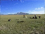
Sensitivity and Response of Treeline Ecotones in the Nepal Himalaya to Climate Warming (TREELINE-II) Key Words: Treeline ecotone, Krummholz, Soil Properties, Climate Change, Himalaya Contact: Rabindra Adhikari, Prof. Thomas Scholten | |
| SPP 2361 – On the Way to the Fluvial Anthroposphere. Project: Local pathways to the Fluvial Anthroposphere at Echaz (Rhine) and Eger (Danube). A comparative analysis from c. AD 1100 to 1800 Keywords: Fluvial Anthroposphere, Middle Ages, Preindustrial Modern Period, Floodplains, Southern Germany Contact: Snježana Pejdanović, Peter Kühn |
| FNR Waldklimafonds: Adaptations to climate change - increasing water retention, soil stability and CO2 sequestration in forest soils by mosses Keywords: Forest ecosystem, forest soil, bryophytes, water retention, drought Contact: Corinna Gall, Steffen Seitz |
| MultiTroph (subproject 3): Multi-Trophic Interactions in a Forest Biodiversity Experiment in China |
| MLTRANS: Transferability of machine learning models in digital soil mapping |
| EXC 2064: Interpretable Spatial Machine Learning for Environmental Modelling Keywords: Digital Soil Mapping, Soil Formation, Uncertainty Quantification, Interpretable Models, Sampling Design, Topography, Differential Equations, Gaussian Processes Contact: Kerstin Rau, Thomas Gläßle, Thomas Scholten, Philipp Hennig |
| Soil and vegetation feedbacks on climate change in high mountain ranges of the Tibetan Plateau Keywords: Soil, soil quality, alpine grassland ecosystem, climate change, FT-NMIR, machine learning, Qinghai-Tibet Plateau Contact: Zuonan Cao |
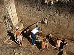
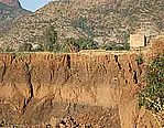
| CRC 1070/ Phase 3 Resource Cultures: Subproject B02 - Resource Use in Favourable/Disfavourable Areas Keywords: Colluvial Deposits, Land Use and Resources, Settlement History Contact: Thomas Knopf, Thomas Scholten, Peter Kühn, Judith Koschorke |
| CRC 1070/ Phase 3 Resource Cultures: Subproject S - Service project geoscientific and geoarchaeological expertise and research data management Keywords: GIS, Environmental and Spatial Data Sets, (Geo-)Statistics, Research data management (RDM) Contact: Tobias Rentschler, Ruhollah Taghizadeh, Martin Bartelheim, Karsten Schmidt, Thomas Scholten, Judith Koschorke |


Previous Projects
Antarctic Research: Microbial-mediated soil formation in maritime Antarctica under simulated environmental conditions
| Keywords: Microbial communities, Permafrost-affected soils, Pedogenesis, Micromorphology, Maritime Antarctica Contact: Lars Arne Meier, Thomas Scholten, Peter Kühn |
EarthShape (Phase II, subproject 3): Microbial Engineers - Drivers of Earth Surface Development and Stabilization
| Keywords: Microorganisms, Sediments, Pedogenesis, Stabilization, Chile Contact: Nicolas Riveras Munoz, Peter Kühn, Steffen Seitz, Thomas Scholten |
MesiCrust: Mechanisms of Soil Erosion under Forest – The Role of Biological Soil Crusts
| Keywords: Soil Erosion, Biological Soil Crusts, Skid Trails, Schönbuch Nature Park Contact: Corinna Gall, Steffen Seitz |

CRC 1070/ Phase 2 Resource Cultures: Subproject B02 - Favor – disfavor? Development of resources in marginal areas
| Keywords: Colluvial Deposits, Land Use and Resources, Settlement History Contact: Sascha Scherer, Thomas Knopf, Thomas Scholten, Peter Kühn |
CRC 1070/ Phase 2 Resource Cultures: Subproject S - Service project geoscientific and geoarchaeological expertise
Spatial analysis and modelling of soil organic carbon using data mining and digital soil mapping along a climatic gradient in West Greenland
UMD-UT Cooperation Program: Soil and Human Culture Dynamics
CRC 1070 Resource Cultures - PhD School "Networks and Resource Complexes": Subproject "Perception of Soils in Society"

Paleosols from King George Island, Maritime Antarctica – indicators of paleoenvironmental change during the Eocene/Oligocene transition
Quantification of Soil CO2 Emissions under the Influence of Climate Change on the Qinghai-Tibet Plateau based on Freely Accessible Data
CRC 1070/ Phase 1 Resource Cultures: Subproject S - Service project geoscientific and geoarchaeological expertise
CRC 1070/ Phase 1 Resource Cultures: Subproject B02 - Favor – disfavor? Development of resources in marginal areas
Sensitivity and Response of the Treeline Ecotone in Rolwaling Himal, Nepal, to Climate Warming
PedoScale - Hyper-scale digital soil mapping and soil formation analysis
YANGTZE-GEO: Subproject Soil Erosion
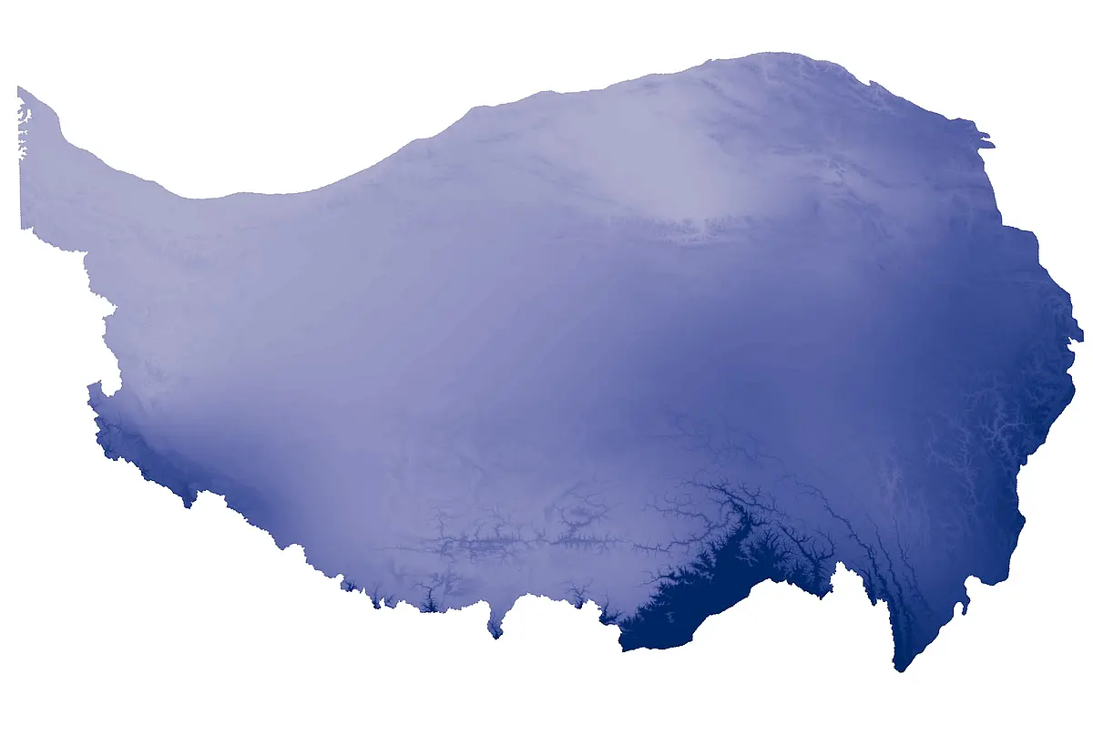
CAME: Subproject Permatrans
PALEOENVI: The late Quaternary palaeoenvironment of the Pannonian Basin (SE Europe)
BEF China: Subproject 6 Soil Properties and Soil Erosion
iSOIL - Interactions between soil related sciences: WP4 Pedometrics
Permafrost, Pedogenesis and Ecosystem Functioning: Feedbacks and Interactions across the Qinghai-Tibetan Plateau
Upper Palaeolithic Environment of Kostiёnki and Borshchevo, Middle Russian Plain
Pre-Aksumite environment of Northern Tigray, Ethiopia