A new, international, community-led scientific review warns that major gaps in knowledge about Antarctica’s coast are now one of the biggest obstacles to reliably predicting future global sea level rise – with University of Tübingen participation
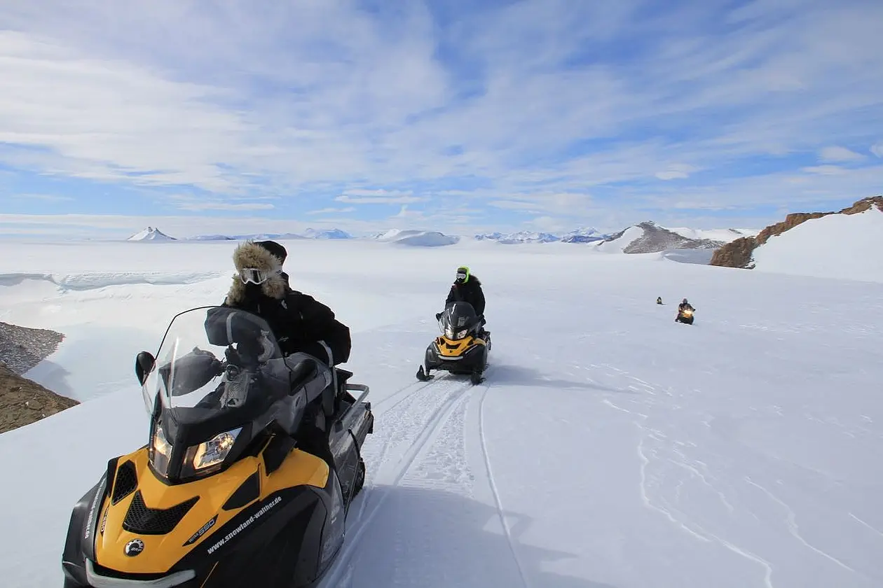
On the way from the belgian Princess Elisabeth station towards the ice-sheet margin, traversing the Sør Rondane mountains in Dronning Maud Land, East Antarctica.
The paper, recently published in American Geophysical Union (AGU)’s Reviews of Geophysics (https://doi.org/10.1029/2022RG000803), synthesizes current understanding of how ice, ocean, atmosphere, and the solid Earth interact in Antarctica’s coastal zone, and highlights key knowledge gaps and the need for improved observations at a pan-Antarctic scale.
The review was written by 80 scientists across 16 countries, from across glaciology, oceanography, geophysics, and atmospheric science, coordinated through the Scientific Committee on Antarctic Research (SCAR) RINGS Action Group. RINGS is also endorsed by the Council of Managers of National Antarctic Programs (COMNAP), which ensures to provide logistics knowledge for efficient survey planning and better coordinate support when it is provided by national Antarctic programs. Geophysicist Professor Reinhard Drews from the University of Tübingen is one of the authors of the review.
The paper brings together existing observations, models, and theory to highlight how incomplete data continue to limit estimates of Antarctic ice loss and future sea-level rise.
“Antarctica’s coastal zone is where ocean, ice, atmosphere, and the underlying bed interact—making it central to predicting future sea level rise. Yet limited observations in this region leave critical gaps in understanding, meaning Antarctica remains a major source of uncertainty”, says first author and the chair of the RINGS Action Group, Dr. Kenichi Matsuoka at Norwegian Polar Institute.
A critical control point for sea level rise
The Antarctic coastal zone is not simply the edge of the continent. It is a tightly coupled system where grounded ice meets the ocean, and where small changes can have outsized consequences. Processes occurring near the grounding zone—the point where ice lifts off the bed and begins to float—can regulate ice discharge or, under certain conditions, trigger feedbacks that accelerate ice loss.
Observations over recent decades show that Antarctic mass loss has increased. The most rapid changes are driven by interactions between the ice and surrounding ocean, and by ice flow at the margins of the ice sheet, rather than surface melting alone. Yet key coastal conditions remain poorly mapped.
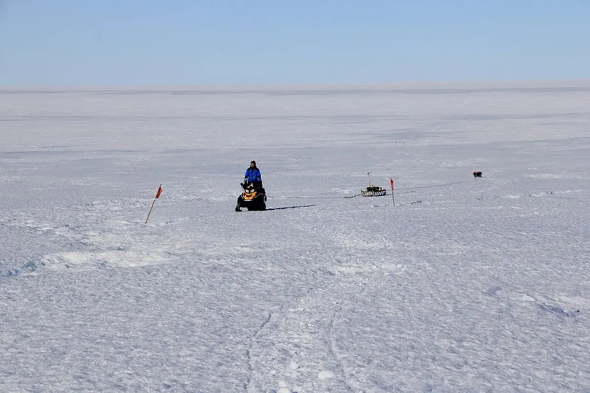
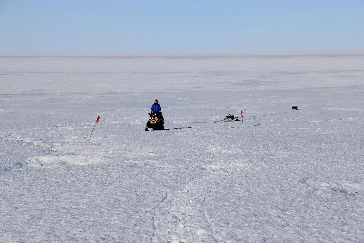
Reinhard Drews collecting ice thickness measurements with radar near the grounding line where the Antarctic ice goes afloat.
The biggest gaps—and why they matter
The review identifies persistent gaps in direct observations of coastal bed topography and sub–ice shelf cavities. Because ice sheet models are highly sensitive to conditions at the coast, even advanced models can produce misleading results when this data is missing or poorly constrained.
While satellite observations provide powerful measurements of ice motion and surface change, they cannot observe the bedrock under ice from space.
"Satellite data alone cannot reliably estimate ice loss into the ocean, and computer models alone cannot predict future change. Both depend on accurate knowledge of bed topography. Observations like those proposed in this paper provide a key missing piece", Matsuoka says.
Reinhard Drews explains what research work he and his team contributed to the major project: "Scientists from the University of Tübingen regularly conduct fieldwork in Antarctica. Much of their previous research has focused on the area where the massive ice sheet resting on land begins to float on the ocean – a critical region for the RINGS project. They have helped compile measurements of ice thickness in this area and, more recently, studied how water flowing from the continent enters cavities under floating ice shelves. In certain locations, this water can cause the ice to melt rapidly from below.”
A roadmap for coordinated action
Because no single nation can achieve comprehensive coverage alone, the authors emphasize that international coordination is essential.
“Uncoordinated surveys risk leaving gaps or duplicating effort. This paper provides an evidence-based framework to support coordinating RINGS activities under SCAR and COMNAP, helping to build more comprehensive datasets for improved sea-level projections”, Matsuoka says. Reinhard Drews adds: “Working as part of a large international research collaboration has been especially rewarding. By sharing data, expertise, and knowledge across countries and institutions, scientists can better address major challenges that no single research group could solve alone."
“Such internationally coordinated efforts can serve as a steppingstone towards the next International Polar Year 2032–33”, Matsuoka concludes.
Publication:
Kenichi Matsuoka et al.: Toward an Improved Understanding of the Antarctic Coastal Zone and Its Contribution to Future Global Sea Level. Reviews of Geophysics, https://doi.org/10.1029/2022RG000803