B 07
A Hunt for Raw Materials? Spatial Models in the ResourceCultures in the Northern Periphery of Mesopotamia
Academic Disciplines
Near Eastern Archaeology
Geography
Soil Science
Geomorphology
Project Investigators
PhD students and Postdocs
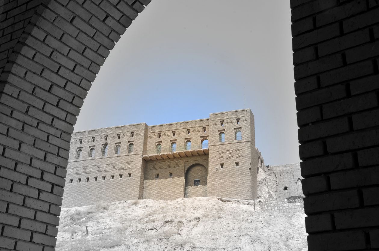
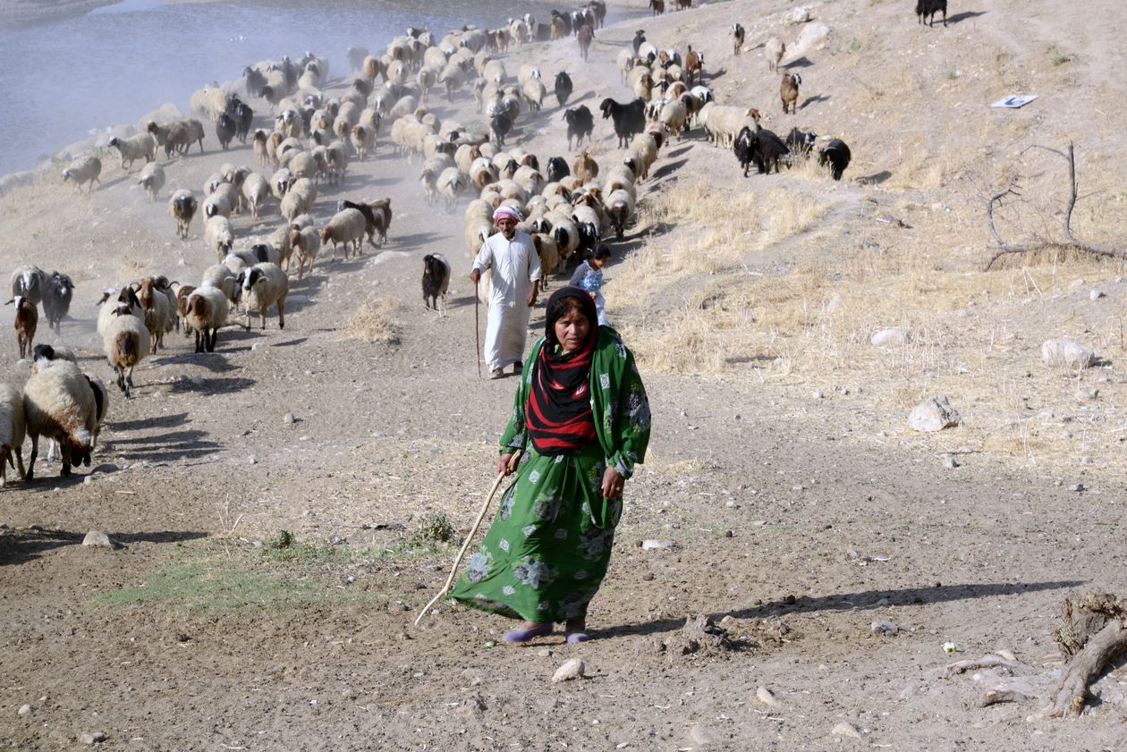
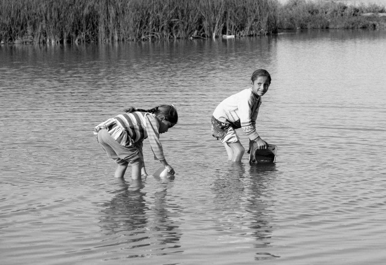
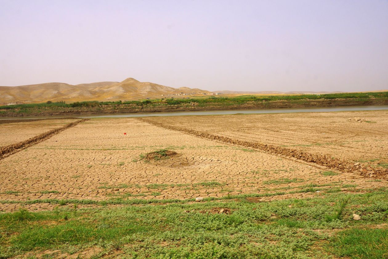
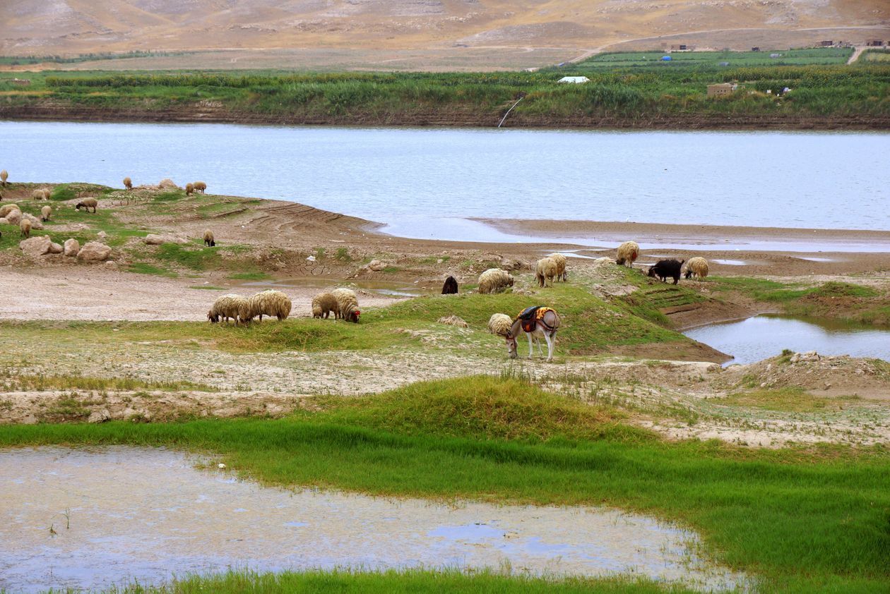
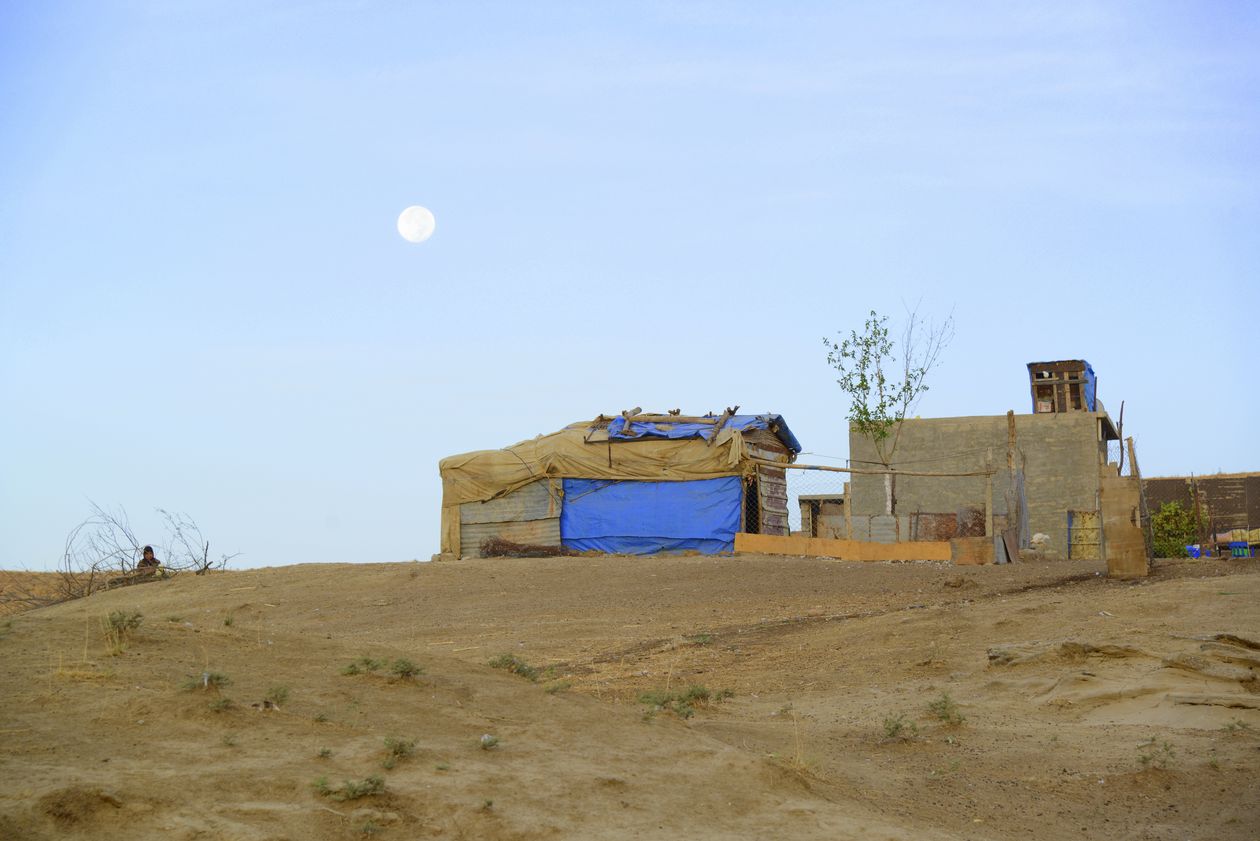
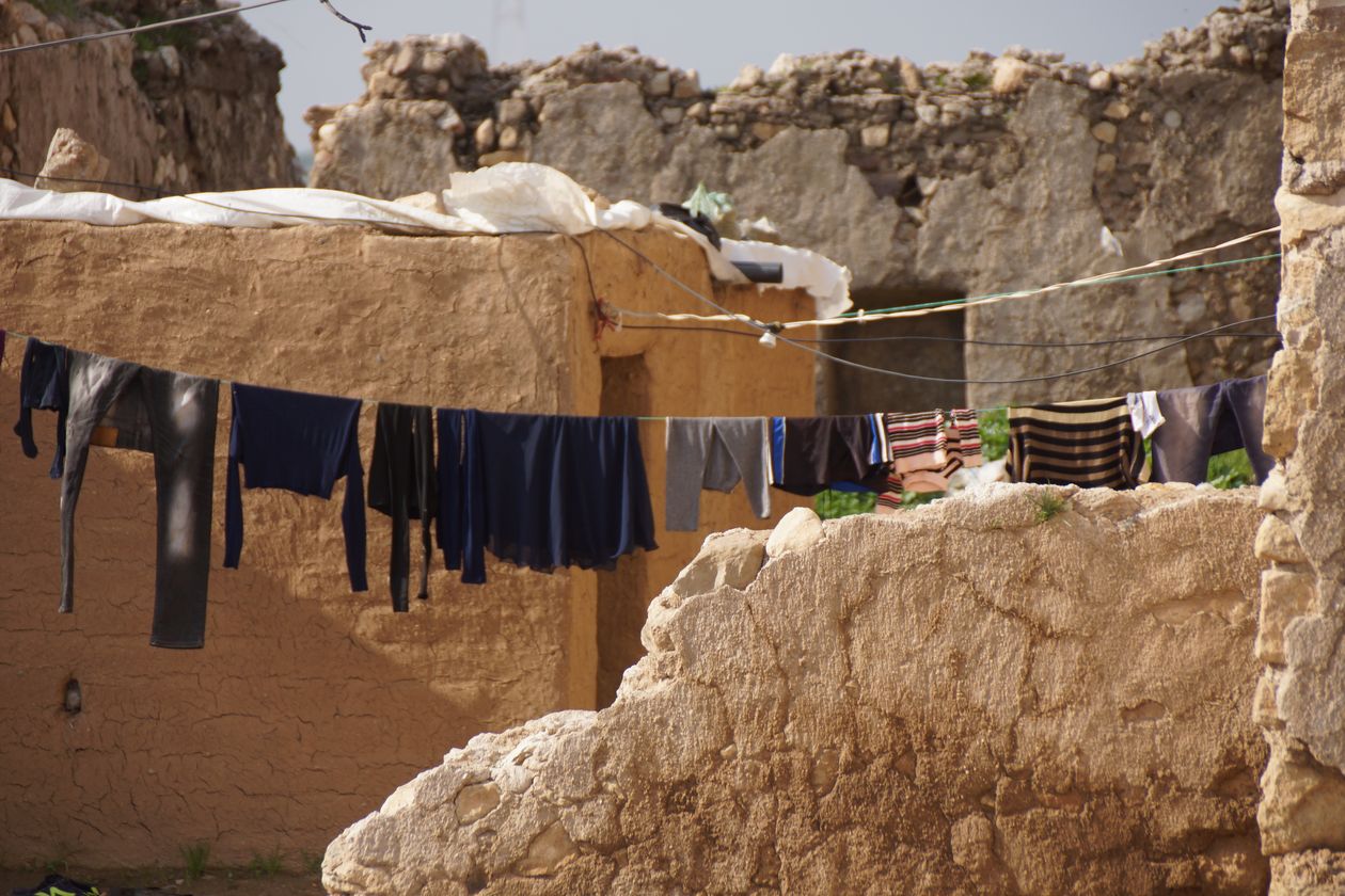
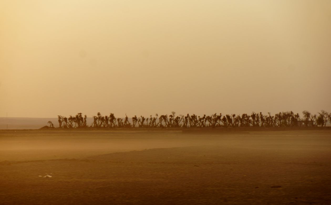
The project examines the social dynamics arising from the use of resources in the area of the northern mountainous fringes of Mesopotamia, both in relation to the tension with the expanding states of Mesopotamia and in an endogenous perspective. The first phase of the project focused on the interests of the Mesopotamian states in the resources of the mountain regions. These were investigated by both a textual analysis and four field campaigns (2013, 2014, 2015, 2016) of an archaeological survey in the Eastern Ḫabur River region (Northern Iraq). It could be demonstrated that access to raw materials in the region as well as the economic use of resources from the region could not have been the main driving source of expansion. Rather, the connection to and control of road networks can be identified as a decisive motive for the political activities of the Mesopotamian states. In addition, the region itself was found to be based on two main ResourceComplexes: first, agriculture based on the use of land and water, and second, regional and interregional exchange based on routes and networks. For this reason, the second phase will focus on the intensive investigation of these two ResourceComplexes. This will be done in a diachronic comparative perspective in order to distinguish characteristic constellations of individual periods in the same region. This is based on the thesis that differently developed networks are the cause for different characteristics of the two main ResourceComplexes. These networks will be investigated primarily on the basis of the spatial parameters in the settlement systems of the individual periods. Special attention will be paid to assessing in which periods external states exerted influence on local networks or connected them to their own networks, and in which periods regional or even local networks developed without external influences. It is thus a matter of distinguishing endogenous from exogenously influenced networks. In order to be able to competently investigate the natural components of the networks (soils, water, topography) and integrate them into the historical models, geography (project S) will join the project as an interdisciplinary subject in its second phase, in order to carry out joint archaeological-geographical fieldwork. Together, the main resources of the endogenous networks are analysed and interpreted: the agricultural potential by a study of the soils, the role of water in the form of rivers, springs and wells, the regional and interregional exchange by the routes and topographical landscapes as well as through the assessment of settlement distribution patterns, and the social integration through the period-specific settlement systems. The networks are reconstructed on a period-specific basis by a close examination of the spatial references between settlements and between settlement chambers. For this purpose, archaeological survey activities will be intensified selectively and expanded regionally. Several neighbouring, but topographically and naturally different settlement chambers will be opened up by means of surveys in order to be able to analyse their regional and interregional structure on the basis of the distribution of settlements and of geographically intermediate settlements (gateway communities). In this way, it will be possible to determine how ResourceComplexes were activated in individual periods and to which complexity they developed. It should become possible to distinguish between macro-, meso- and micro-level networks and thus further our insight into the evolution and devolution of ResourceComplexes.
